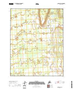
2018 Map of Coleen A-6 SW
USGS Topo · Published 2018About this map
The expansive Yukon Flats landscape dominates this interior region of Alaska, characterized by a complex network of wetlands and shallow water bodies within the t26n r17e and t26n r18e townships. The meandering course of Chandalar Creek (also labeled as Chandalar Cr) flows through the eastern portion of the quadrangle, serving as a primary hydrologic feature in this low-lying basin. This survey provides a precise record of the intricate pond and marsh systems that define the area's geography north of the Arctic Circle, offering essential data for environmental researchers and those studying the natural history of the Yukon River watershed. The absence of roads and settlements emphasizes the remote, undeveloped character of this protected wilderness area in the Yukon-Koyukuk Census Area.
Find a feature on this map
10 named features on this map. Tap any name to fly to it.
Don’t see what you’re looking for? This feature index may not catch every label — zoom into the map to look around manually.
Map Details
Editions of this 2018 Coleen A-6 SW Map
This is the sole edition of this map. No revisions or reprints were ever made.
Other maps of this area

1951 · Fort Yukon
USGS Topo · 1:250,000

1951 · Black River
USGS Topo · 1:250,000

1951 · Coleen
USGS Topo · 1:250,000

1951 · Christian
USGS Topo · 1:250,000

1956 · Coleen
USGS Topo · 1:250,000

1956 · Black River D-6
USGS Topo · 1:63,360
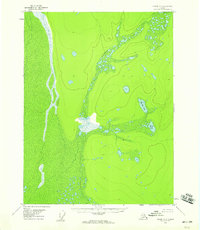
1956 · Coleen A-6
USGS Topo · 1:63,360
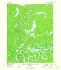
1956 · Fort Yukon D-1
USGS Topo · 1:63,360

1956 · Christian
USGS Topo · 1:250,000

1956 · Fort Yukon
USGS Topo · 1:250,000