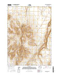
2017 Map of Coleman Hills
USGS Topo · Published 2017About this map
Coleman Hills and the prominent peak of Jug Mtn anchor this high-desert region of Lake County, Oregon. The landscape is defined by the high-elevation volcanic terrain of the Great Basin, where transportation relies on a sparse network of gravel and dirt routes such as Hogback Rd and Leeman Well. The map reveals the critical importance of water management in this arid environment, centered on the Rock Spring Gulch Reservoir and named drainage basins like Coleman Flat. Notable elevation markers like Hogback Summit provide key landmarks for those navigating the transition between the various Bureau of Land Management districts and range townships. The survey emphasizes the remote nature of this corner of Oregon, dominated by expansive public lands and cattle-ranching infrastructure.
Find a feature on this map
15 named features on this map. Tap any name to fly to it.
Don’t see what you’re looking for? This feature index may not catch every label — zoom into the map to look around manually.
Map Details
Editions of this 2017 Coleman Hills Map
This is the sole edition of this map. No revisions or reprints were ever made.
Other maps of this area

1955 · Klamath Falls
USGS Topo · 1:250,000

1955 · Adel
USGS Topo · 1:250,000

1957 · Adel
USGS Topo · 1:250,000

1958 · Klamath Falls
USGS Topo · 1:250,000

1958 · Adel
USGS Topo · 1:250,000

1962 · Adel
USGS Topo · 1:250,000

1966 · Rabbit Hills NW
USGS Topo · 1:24,000

1968 · Lake Abert North
USGS Topo · 1:24,000

1968 · Commodore Ridge
USGS Topo · 1:24,000

1974 · Lake Abert
USGS Topo · 1:100,000