
1968 Map of Lake Abert North
USGS Topo · Published 1972About this map
Lake Abert dominates this high-desert landscape, bordered by the dramatic verticality of the Abert Rim. The 1968 survey reveals a stark environmental transition between the expansive Alkali Flat to the north and the rugged heights of Commodore Ridge to the east. Human presence is sparse, defined by the isolated locales of Myers and Leggett along the rim's base. The map captures an arid basin where water is the primary geographic driver, evidenced by Highway Spring and the seasonally variable Thorne and Wisdom Lake. Transportation is limited to a primary road hugging the eastern shoreline and a network of primitive tracks, including a Jeep Trail, that probe the high plateaus above the lake.
Find a feature on this map
14 named features on this map. Tap any name to fly to it.
Don’t see what you’re looking for? This feature index may not catch every label — zoom into the map to look around manually.
Map Details
Editions of this 1968 Lake Abert North Map
This is the sole edition of this map. No revisions or reprints were ever made.
Other maps of this area

1955 · Klamath Falls
USGS Topo · 1:250,000

1958 · Klamath Falls
USGS Topo · 1:250,000

1966 · Coglan Buttes NE
USGS Topo · 1:24,000

1966 · Coglan Buttes SE
USGS Topo · 1:24,000

1968 · Lake Abert South
USGS Topo · 1:24,000
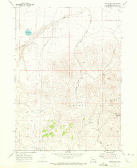
1968 · Cooper Draw
USGS Topo · 1:24,000

1968 · Commodore Ridge
USGS Topo · 1:24,000

1974 · Lake Abert
USGS Topo · 1:100,000
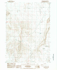
1984 · Coleman Hills
USGS Topo · 1:24,000
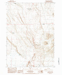
1984 · Sawed Horn
USGS Topo · 1:24,000