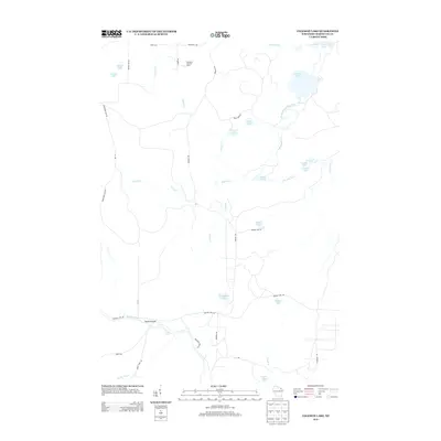
2013 Map of Coleman Lake
USGS Topo · Published 2013About this map
Taylor Rapids and the winding course of the Peshtigo River dominate the southern reaches of this Marinette County landscape, where the water flows through distinctive features like Strong Falls. The area is characterized by a dense network of water bodies, ranging from the large namesake Coleman Lake in the northeast to smaller basins like D'Amour Lake, Trout Lake, and Grandfather Lake. The terrain is managed through a system of forestry and access roads, including Parkway Rd and Goodman Park Rd, which connect the scattered lakes and waterways.
Find a feature on this map
43 named features on this map. Tap any name to fly to it.
Don’t see what you’re looking for? This feature index may not catch every label — zoom into the map to look around manually.
Map Details
Editions of this 2013 Coleman Lake Map
This is the sole edition of this map. No revisions or reprints were ever made.
Other maps of this area
1939 · Dunbar
USGS Topo · 1:48,000
1939 · Goodman
USGS Topo · 1:48,000
1940 · Thunder Mtn.
USGS Topo · 1:48,000
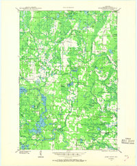
1940 · Athelstane
USGS Topo · 1:48,000
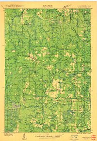
1941 · Dunbar
USGS Topo · 1:48,000
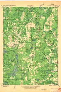
1942 · Athelstane
USGS Topo · 1:48,000
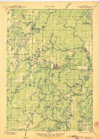
1946 · Goodman
USGS Topo · 1:48,000
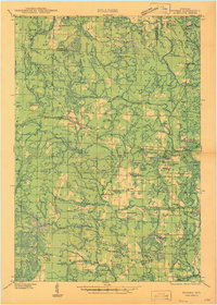
1947 · Dunbar
USGS Topo · 1:48,000
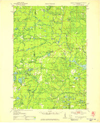
1951 · Thunder Mountain
USGS Topo · 1:48,000

1954 · Iron Mountain
USGS Topo · 1:250,000