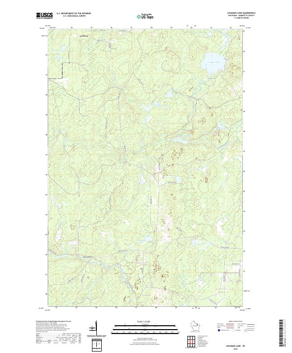
2022 Map of Coleman Lake
USGS Topo · Published 2022About this map
Taylor Rapids and the winding course of the Peshtigo River anchor the southern portion of this northern Wisconsin landscape. The terrain is defined by a dense network of glacial lakes and wetlands, including the expansive Phillips Marsh and the waters of Coleman Lake. The presence of Strong Falls along the river highlights the natural elevation changes that have historically influenced movement and settlement in this part of Marinette County.
Find a feature on this map
57 named features on this map. Tap any name to fly to it.
Don’t see what you’re looking for? This feature index may not catch every label — zoom into the map to look around manually.
Map Details
Editions of this 2022 Coleman Lake Map
This is the sole edition of this map. No revisions or reprints were ever made.
Other maps of this area

1939 · Dunbar
USGS Topo · 1:48,000

1939 · Goodman
USGS Topo · 1:48,000

1940 · Thunder Mtn.
USGS Topo · 1:48,000

1940 · Athelstane
USGS Topo · 1:48,000

1941 · Dunbar
USGS Topo · 1:48,000

1942 · Athelstane
USGS Topo · 1:48,000

1946 · Goodman
USGS Topo · 1:48,000

1947 · Dunbar
USGS Topo · 1:48,000

1951 · Thunder Mountain
USGS Topo · 1:48,000

1954 · Iron Mountain
USGS Topo · 1:250,000