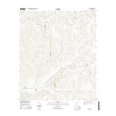
2014 Map of Coleman
USGS Topo · Published 2014About this map
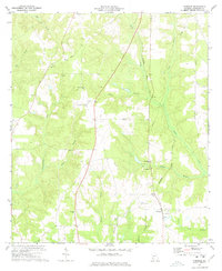
Coleman serves as the primary community hub in this section of Southwest Georgia, situated at the intersection of Ga 266 and several county roads. The landscape is defined by the winding course of Cemochechobee Creek and its many tributaries, including Caney Branch and Knowles Branch. For those tracing family histories, the map identifies numerous rural burial grounds such as Shiloh Cemetery, Singletary Cemetery, and the Pleasant Hill Baptist Church Cemetery. The border between Clay and Randolph Counties bisects the western half of the quadrangle, passing through the settlement of Bethel. Other distinct localities like Cotton Hill and Jones Crossing are linked by a network of established routes like Cotton Hill Road and County Road 58, reflecting the agricultural and residential patterns of the region.
Find a feature on this map
47 named features on this map. Tap any name to fly to it.
Don’t see what you’re looking for? This feature index may not catch every label — zoom into the map to look around manually.
Map Details
Editions of this 2014 Coleman Map
This is the sole edition of this map. No revisions or reprints were ever made.
Other maps of this area

1953 · Dothan
USGS Topo · 1:250,000

1954 · Dothan
USGS Topo · 1:250,000

1955 · Dothan
USGS Topo · 1:250,000

1967 · Hatcher
USGS Topo · 1:24,000

1969 · Fort Gaines
USGS Topo · 1:24,000

1969 · Fort Gaines NE
USGS Topo · 1:24,000
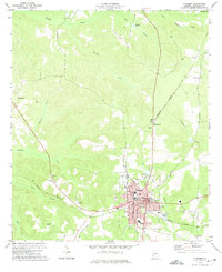
1972 · Cuthbert
USGS Topo · 1:24,000
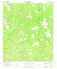
1973 · Morris
USGS Topo · 1:24,000
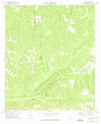
1973 · Coleman
USGS Topo · 1:24,000
1973 · Carnegie
USGS Topo · 1:24,000