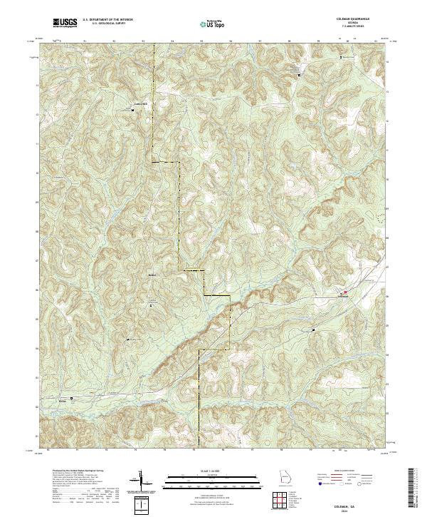
2024 Map of Coleman
USGS Topo · Published 2024About this map
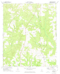
Cotton Hill and Bethel anchor the rural landscape of this southwestern Georgia survey, where the boundary between Randolph and Clay counties follows the meandering course of Hog Creek. The terrain is defined by a dense network of drainage, including Cemochechobee Creek and Waukeefraskee Creek, which carve through the land near Hunters Rdg. This 2024 data captures the enduring footprint of small agricultural communities and their social foundations, centered around several family and community burial grounds.
Find a feature on this map
51 named features on this map. Tap any name to fly to it.
Don’t see what you’re looking for? This feature index may not catch every label — zoom into the map to look around manually.
Map Details
Editions of this 2024 Coleman Map
This is the sole edition of this map. No revisions or reprints were ever made.
Other maps of this area

1953 · Dothan
USGS Topo · 1:250,000

1954 · Dothan
USGS Topo · 1:250,000

1955 · Dothan
USGS Topo · 1:250,000

1967 · Hatcher
USGS Topo · 1:24,000

1969 · Fort Gaines
USGS Topo · 1:24,000

1969 · Fort Gaines NE
USGS Topo · 1:24,000
1972 · Cuthbert
USGS Topo · 1:24,000
1973 · Morris
USGS Topo · 1:24,000
1973 · Coleman
USGS Topo · 1:24,000
1973 · Carnegie
USGS Topo · 1:24,000