
1964 Map of Colfax South
USGS Topo · Published 1965About this map
The South Fork Palouse River meanders sharply through the Palouse hills in this mid-1960s topographic study of the region south of Colfax. The landscape is defined by the deep incisions of Union Flat Creek and Rebel Flat Creek, which cross a topography of rolling agricultural plateaus. The Union Pacific railroad tracks trace the river's winding course, connecting small stations and sidings such as Risbeck, Parvin, and Shawnee. These small railway points and the town of Albion served as vital hubs for the local farming economy.
Find a feature on this map
16 named features on this map. Tap any name to fly to it.
Don’t see what you’re looking for? This feature index may not catch every label — zoom into the map to look around manually.
Map Details
Editions of this 1964 Colfax South Map
This is the sole edition of this map. No revisions or reprints were ever made.
Other maps of this area

1910 · Pullman
USGS Topo · 1:125,000

1955 · Pullman
USGS Topo · 1:250,000

1958 · Pullman
USGS Topo · 1:250,000

1964 · Diamond
USGS Topo · 1:24,000

1964 · Elberton
USGS Topo · 1:24,000

1964 · Colfax North
USGS Topo · 1:24,000

1964 · Wilcox
USGS Topo · 1:24,000
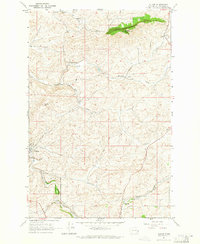
1964 · Albion
USGS Topo · 1:24,000

1964 · Ewartsville
USGS Topo · 1:24,000
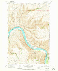
1964 · Almota
USGS Topo · 1:24,000