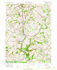
1951 Map of Collegeville
USGS Topo · Published 1965About this map
Perkiomen Creek defines the local landscape of this mid-century Montgomery County sheet, winding through a corridor of established borough centers and emerging residential tracts. The prominent campus of Ursinus College stands at the heart of Collegeville, while the Eastern State Penitentiary occupies a significant tract to the north near Graterford. This era shows a community in transition, balancing its agricultural roots with institutional development and the early expansion of suburban infrastructure along the Germantown Pike and Ridge Pike.
Find a feature on this map
73 named features on this map. Tap any name to fly to it.
Don’t see what you’re looking for? This feature index may not catch every label — zoom into the map to look around manually.
Map Details
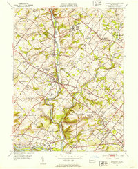
Editions of this 1951 Collegeville Map
2 editions found
Other maps of this area

1888 · Quakertown
USGS Topo · 1:62,500

1890 · Quakertown
USGS Topo · 1:62,500

1894 · Quakertown
USGS Topo · 1:62,500

1894 · Norristown
USGS Topo · 1:62,500

1895 · Norristown
USGS Topo · 1:62,500

1896 · Norristown
USGS Topo · 1:62,500

1902 · Boyertown
USGS Topo · 1:62,500

1906 · Phoenixville
USGS Topo · 1:62,500

1942 · Norristown
USGS Topo · 1:125,000
1943 · Telford
USGS Topo · 1:31,680
Featured Places
- Limerick Township, PA
- Phoenixville, PA
- Skippack Township, PA
- Worcester Township, PA
- Perkiomen Township, PA