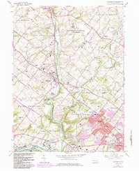
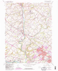
1966 Map of Collegeville
USGS Topo · Published 1984About this map
Perkiomen Creek defines the central axis of this Montgomery County landscape, winding south toward its confluence with the Schuylkill River near Mont Clare. The 1960s suburban expansion is evident in the purple-shaded revisions around Trooper and Jeffersonville, yet the region's institutional character remains prominent. The massive footprint of the State Correctional Institution at Graterford occupies a significant portion of the northern terrain, while the campus of Ursinus College anchors the borough of Collegeville. Local history and genealogy are well-represented by older rural landmarks such as Keelys Ch Cem and the Iron Bridge Chapel in Rahns. The map also illustrates the transition from agricultural use to modern infrastructure, showing the Perkioman Valley Airport and the complex road network of Upper Providence and Lower Providence townships before the full onset of late-century development.
Find a feature on this map
79 named features on this map. Tap any name to fly to it.
Don’t see what you’re looking for? This feature index may not catch every label — zoom into the map to look around manually.
Map Details
Editions of this 1966 Collegeville Map
5 editions found
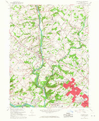
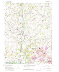
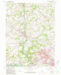
Other maps of this area

1888 · Quakertown
USGS Topo · 1:62,500

1890 · Quakertown
USGS Topo · 1:62,500

1894 · Quakertown
USGS Topo · 1:62,500

1894 · Norristown
USGS Topo · 1:62,500

1895 · Norristown
USGS Topo · 1:62,500

1896 · Norristown
USGS Topo · 1:62,500

1902 · Boyertown
USGS Topo · 1:62,500

1906 · Phoenixville
USGS Topo · 1:62,500

1942 · Norristown
USGS Topo · 1:125,000
1943 · Telford
USGS Topo · 1:31,680
Featured Places
- Limerick Township, PA
- Phoenixville, PA
- Skippack Township, PA
- Worcester Township, PA
- Perkiomen Township, PA