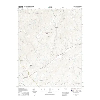
2016 Map of Collettsville
USGS Topo · Published 2016About this map
The Johns River carves a deep path through the heart of this North Carolina mountain landscape, meeting Mulberry Cr at the community of Collettsville. This survey illustrates the dense network of ridges and knobs that define the eastern reaches of the Pisgah National Forest, including family-named landmarks like Joe White Mtn and Adams Mtn. The settlement pattern follows the narrow valley floors, with places like Adako and Brown Mountain Beach situated along the riverbanks. To the north, the terrain rises sharply toward Housesite Ridge and Sand Mtn, while old mill sites are suggested by watercourse names such as Estes Mill Cr and Carroll Mill Cr. Roadways like Adako Rd and Collettsville Rd trace the contours of the land, connecting these mountain hamlets and crossing the numerous branches that feed into the main river system.
Find a feature on this map
79 named features on this map. Tap any name to fly to it.
Don’t see what you’re looking for? This feature index may not catch every label — zoom into the map to look around manually.
Map Details
Editions of this 2016 Collettsville Map
This is the sole edition of this map. No revisions or reprints were ever made.
Other maps of this area

1893 · Cranberry
USGS Topo · 1:125,000

1895 · Cranberry
USGS Topo · 1:125,000

1899 · Cranberry
USGS Topo · 1:125,000

1902 · Cranberry
USGS Topo · 1:125,000

1905 · Morganton
USGS Topo · 1:125,000

1936 · Blowing Rock
USGS Topo · 1:48,000

1942 · Blowing Rock
USGS Topo · 1:62,500

1944 · Linville
USGS Topo · 1:62,500

1953 · Charlotte
USGS Topo · 1:250,000

1953 · Winston-Salem
USGS Topo · 1:250,000