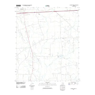
2010 Map of Colliers Creek
USGS Topo · Published 2010About this map
Eightmile Creek and Colliers Creek define the drainage of this area in Harrison County just southeast of Marshall. The landscape is a network of small watersheds including Quapaw Creek, Turkey Creek, and Parker Creek, which feed into larger systems like Caddo Creek. This 2010 topographic record shows a transition from the urban edge of Marshall into the more rural landscape of Gill.
Find a feature on this map
45 named features on this map. Tap any name to fly to it.
Don’t see what you’re looking for? This feature index may not catch every label — zoom into the map to look around manually.
Map Details
Editions of this 2010 Colliers Creek Map
This is the sole edition of this map. No revisions or reprints were ever made.
Other maps of this area

1943 · Waskom
USGS Topo · 1:62,500

1944 · Caddo Lake
USGS Topo · 1:62,500

1945 · Waskom
USGS Topo · 1:62,500

1946 · Caddo Lake
USGS Topo · 1:62,500

1956 · Tyler
USGS Topo · 1:250,000

1958 · Darco
USGS Topo · 1:62,500

1962 · Marshall West
USGS Topo · 1:24,000

1962 · Stricklin Springs
USGS Topo · 1:24,000

1962 · De Berry
USGS Topo · 1:24,000

1962 · Marshall East
USGS Topo · 1:24,000