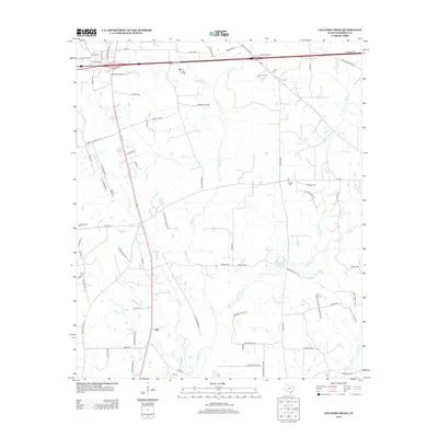
2013 Map of Colliers Creek
USGS Topo · Published 2013About this map
The settlement of Gill sits at a transportation junction in Harrison County, where the southern portion of the map is defined by family-named cemeteries and rural farm roads. The landscape is heavily dissected by several waterways, including Colliers Cr, Eightmile Cr, and Quapaw Cr, illustrating the complex drainage patterns of this East Texas region. For genealogists and local historians, the presence of Roseborough Cem, Blocker Cem, and Gill Cem provides essential landmarks for tracing ancestral roots in the area. The road network, including FM-2625 and FM-2983, connects these rural sites, while many smaller thoroughfares such as Irvin McClelland Rd and Boards Ferry Rd hint at the historical navigation and settlement patterns of the territory.
Find a feature on this map
76 named features on this map. Tap any name to fly to it.
Don’t see what you’re looking for? This feature index may not catch every label — zoom into the map to look around manually.
Map Details
Editions of this 2013 Colliers Creek Map
This is the sole edition of this map. No revisions or reprints were ever made.
Other maps of this area

1943 · Waskom
USGS Topo · 1:62,500

1944 · Caddo Lake
USGS Topo · 1:62,500

1945 · Waskom
USGS Topo · 1:62,500

1946 · Caddo Lake
USGS Topo · 1:62,500

1956 · Tyler
USGS Topo · 1:250,000

1958 · Darco
USGS Topo · 1:62,500

1962 · Marshall West
USGS Topo · 1:24,000

1962 · Stricklin Springs
USGS Topo · 1:24,000

1962 · De Berry
USGS Topo · 1:24,000

1962 · Marshall East
USGS Topo · 1:24,000