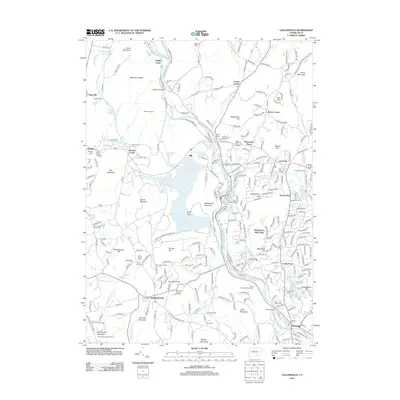
2012 Map of Collinsville
USGS Topo · Published 2012About this map
Satans Kingdom and the Farmington River dominate this 2012 topography, where the waterway carves through a landscape defined by significant elevation changes and historic crossroads. The map documents the intricate water management system of the region, featuring both the Collinsville Reservoir and the Nepaug Reservoir, which altered the local geography. Distinctive local history is preserved through labels for the Schwartzmann Mill and the Burlington Lookout Tower atop Johnnycake Mountain. Settlement patterns are well-defined, from the established village of Unionville to smaller locales like Puddle Town and Lovely Street. The density of cemeteries, such as Saint Patricks Cem and Southwest Cem, provides valuable location data for researchers tracing family lineages across the Litchfield and Hartford county border area.
Find a feature on this map
83 named features on this map. Tap any name to fly to it.
Don’t see what you’re looking for? This feature index may not catch every label — zoom into the map to look around manually.
Map Details
Editions of this 2012 Collinsville Map
This is the sole edition of this map. No revisions or reprints were ever made.
Other maps of this area

1892 · Winsted
USGS Topo · 1:62,500

1892 · Meriden
USGS Topo · 1:62,500

1892 · Granby
USGS Topo · 1:62,500

1893 · Waterbury
USGS Topo · 1:62,500

1893 · Meriden
USGS Topo · 1:62,500

1904 · Waterbury
USGS Topo · 1:62,500

1904 · Litchfield
USGS Topo · 1:125,000

1906 · Farmington
USGS Topo · 1:125,000
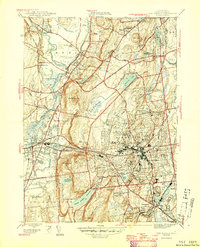
1946 · New Britain
USGS Topo · 1:31,680

1946 · Bristol
USGS Topo · 1:31,680