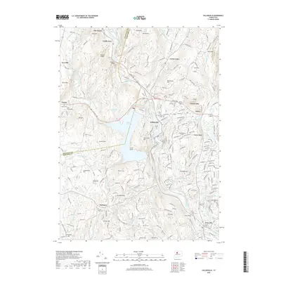
2018 Map of Collinsville
USGS Topo · Published 2018About this map
Collinsville and the surrounding villages of Canton, Burlington, and Unionville are defined by the winding course of the Farmington River and its various tributaries in this 2018 survey. The landscape is characterized by its complex hydrology, featuring the significant Nepaug Reservoir and smaller bodies such as the Unionville Upper Reservoir and Henry's Pond Number 2. The terrain is marked by prominent elevations like Huckleberry Hill, Taine Mtn, and Sweetheart Mtn, which frame the settled valleys.
Find a feature on this map
240 named features on this map. Tap any name to fly to it.
Don’t see what you’re looking for? This feature index may not catch every label — zoom into the map to look around manually.
Map Details
Editions of this 2018 Collinsville Map
This is the sole edition of this map. No revisions or reprints were ever made.
Other maps of this area

1892 · Winsted
USGS Topo · 1:62,500

1892 · Meriden
USGS Topo · 1:62,500

1892 · Granby
USGS Topo · 1:62,500

1893 · Waterbury
USGS Topo · 1:62,500

1893 · Meriden
USGS Topo · 1:62,500

1904 · Waterbury
USGS Topo · 1:62,500

1904 · Litchfield
USGS Topo · 1:125,000

1906 · Farmington
USGS Topo · 1:125,000
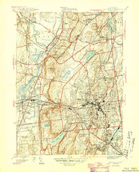
1946 · New Britain
USGS Topo · 1:31,680

1946 · Bristol
USGS Topo · 1:31,680