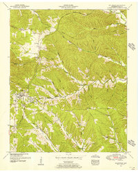
1951 Map of Collinwood
USGS Topo · Published 1956About this map
Collinwood serves as the central hub of this mid-century Wayne County landscape, situated where the historic Natchez Trace Parkway cuts through the timbered highlands of southern Tennessee. The town’s grid is clearly defined, bordered by Woodlawn and the winding course of Shawnette Creek. The surrounding terrain is a complex network of steep ridges and narrow hollows, such as Haggerty Hollow and Keeton Hollow, which reflect a dispersed pattern of rural settlement common before modern road consolidation. Local life is anchored by family-named landmarks and rural institutions, including the Millrock Church, Millrock Sch, and the McCall Sch located along McCall Ridge. The southern portion of the quadrangle is dominated by the prominent Bucksnort Ridge, while the northeast is defined by the headwaters of Factory Creek, showing the varied drainage patterns that shaped early Tennessee frontier development and land use.
Find a feature on this map
43 named features on this map. Tap any name to fly to it.
Don’t see what you’re looking for? This feature index may not catch every label — zoom into the map to look around manually.
Map Details
Editions of this 1951 Collinwood Map
2 editions found
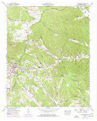
Other maps of this area

1905 · Waynesboro
USGS Topo · 1:125,000

1936 · Westpoint
USGS Topo · 1:24,000

1936 · Collinwood
USGS Topo · 1:24,000

1936 · Light
USGS Topo · 1:24,000

1936 · Negro Hollow
USGS Topo · 1:24,000

1936 · Cypress Inn
USGS Topo · 1:24,000

1936 · Three Churches
USGS Topo · 1:24,000
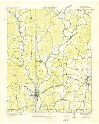
1936 · St. Joseph
USGS Topo · 1:24,000

1936 · Waynesboro
USGS Topo · 1:24,000

1936 · Ovilla
USGS Topo · 1:24,000