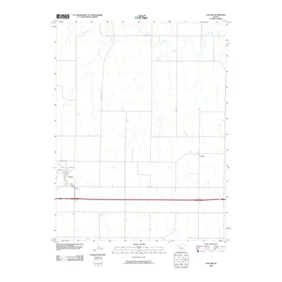
2009 Map of Collyer
USGS Topo · Published 2009About this map
Collyer serves as the primary hub of this High Plains landscape in Trego County, where the grid of early western Kansas settlement is visible through long-established transit corridors. The town's local history is anchored by Saint Michaels Cemetery and Collyer Cemetery, situated south of the main residential streets. The geography is defined by northward-flowing drainages, including Coyote Creek and Trego Creek, which feed into the Saline River at the northern edge of the survey. Transportation history is layered across the terrain, showing the modern I-70 running parallel to the historic Old Hwy 40 and the northern Golden Belt Rd. Further east, the small settlement of Voda marks another point along the rural road network, connected by routes such as Voda Rd and Saint Peter Rd that navigate the varied creek breaks.
Find a feature on this map
16 named features on this map. Tap any name to fly to it.
Don’t see what you’re looking for? This feature index may not catch every label — zoom into the map to look around manually.
Map Details
Editions of this 2009 Collyer Map
This is the sole edition of this map. No revisions or reprints were ever made.
Other maps of this area

1893 · Ellis
USGS Topo · 1:125,000

1893 · Hill
USGS Topo · 1:125,000

1954 · Goodland
USGS Topo · 1:250,000

1955 · Great Bend
USGS Topo · 1:250,000

1955 · Scott City
USGS Topo · 1:250,000

1955 · Beloit
USGS Topo · 1:250,000

1956 · Goodland
USGS Topo · 1:250,000

1957 · Goodland
USGS Topo · 1:250,000

1957 · Great Bend
USGS Topo · 1:250,000

1958 · Great Bend
USGS Topo · 1:250,000