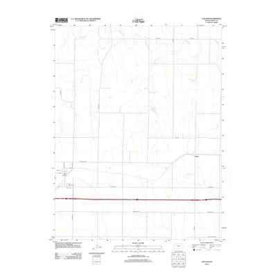
2012 Map of Collyer
USGS Topo · Published 2012About this map
Saint Michaels Cem and Union Cem are prominent local landmarks within this Trego County landscape, illustrating the enduring cultural footprint of early settlements in western Kansas. The terrain is defined by the winding course of the Saline River and its southern tributaries, including Coyote Cr and Trego Cr, which carve through the high plains. The transport network reveals a clear progression of time, from the historic track of Golden Belt Rd to the more modern thoroughfares like Old Hwy 40 and the major interstate corridor. The small community at Voda and the municipal layout of Collyer, featuring streets like Ainslie Ave and Banner Rd, show the transition from agricultural rurality to modern infrastructure while maintaining traditional sites like the local Po.
Find a feature on this map
25 named features on this map. Tap any name to fly to it.
Don’t see what you’re looking for? This feature index may not catch every label — zoom into the map to look around manually.
Map Details
Editions of this 2012 Collyer Map
This is the sole edition of this map. No revisions or reprints were ever made.
Other maps of this area

1893 · Ellis
USGS Topo · 1:125,000

1893 · Hill
USGS Topo · 1:125,000

1954 · Goodland
USGS Topo · 1:250,000

1955 · Great Bend
USGS Topo · 1:250,000

1955 · Scott City
USGS Topo · 1:250,000

1955 · Beloit
USGS Topo · 1:250,000

1956 · Goodland
USGS Topo · 1:250,000

1957 · Goodland
USGS Topo · 1:250,000

1957 · Great Bend
USGS Topo · 1:250,000

1958 · Great Bend
USGS Topo · 1:250,000