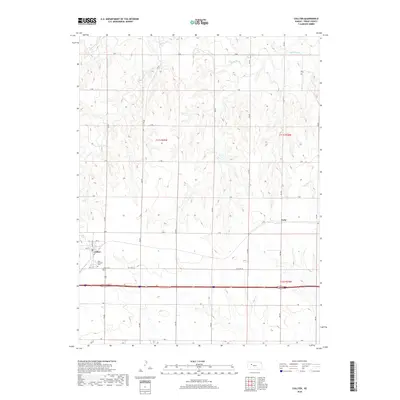
2018 Map of Collyer
USGS Topo · Published 2018About this map
Collyer serves as the primary settlement in this Western Kansas landscape, situated just north of the Interstate 70 corridor and the historic path of Old Hwy 40. The town's grid is anchored by Saint Michael's Cem and nearby Union Cem, providing a focal point for genealogical research in this part of Trego County. The terrain is defined by the drainage systems of the Saline River in the north and the winding paths of Coyote Cr and Trego Cr further south. To the east, the small locality of Voda sits along the Union Pacific rail line and G Ter. The map illustrates a strictly organized section-line road network, reflecting the enduring legacy of the Public Land Survey System with labels like 130 Ave and 190 Ave crossing east-west routes from B Rd to J Rd.
Find a feature on this map
33 named features on this map. Tap any name to fly to it.
Don’t see what you’re looking for? This feature index may not catch every label — zoom into the map to look around manually.
Map Details
Editions of this 2018 Collyer Map
This is the sole edition of this map. No revisions or reprints were ever made.
Other maps of this area

1893 · Ellis
USGS Topo · 1:125,000

1893 · Hill
USGS Topo · 1:125,000

1954 · Goodland
USGS Topo · 1:250,000

1955 · Great Bend
USGS Topo · 1:250,000

1955 · Scott City
USGS Topo · 1:250,000

1955 · Beloit
USGS Topo · 1:250,000

1956 · Goodland
USGS Topo · 1:250,000

1957 · Goodland
USGS Topo · 1:250,000

1957 · Great Bend
USGS Topo · 1:250,000

1958 · Great Bend
USGS Topo · 1:250,000