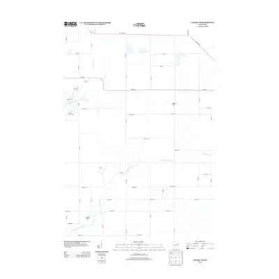
2013 Map of Coloma NW
USGS Topo · Published 2013About this map
Big Roche a Cri Creek and Fourteenmile Creek define the drainage of this central Wisconsin landscape, where local geology is punctuated by named formations like Keystone Rock and Owens Rock. The area is organized by a geometric grid of residential and arterial roads, including State Road 73 and Co Hwy-D, which connect the rural parcels of northern Adams County. A large Quarry and the 18 Reservoir indicate historical and ongoing land use related to water management and resource extraction. The map reveals a transition between agricultural plots and small-scale development, with numerous labeled drives and avenues such as Akron Dr and Aniwa Ln reflecting the modern settlement pattern surrounding these natural waterways and sandstone outcroppings.
Find a feature on this map
38 named features on this map. Tap any name to fly to it.
Don’t see what you’re looking for? This feature index may not catch every label — zoom into the map to look around manually.
Map Details
Editions of this 2013 Coloma NW Map
This is the sole edition of this map. No revisions or reprints were ever made.
Other maps of this area

1955 · Green Bay
USGS Topo · 1:250,000

1957 · Wisconsin Rapids
USGS Topo · 1:48,000

1957 · Whiting
USGS Topo · 1:48,000

1958 · Arkdale
USGS Topo · 1:48,000

1958 · Coloma
USGS Topo · 1:48,000

1967 · Roche A Cri
USGS Topo · 1:24,000

1967 · Arkdale NE
USGS Topo · 1:24,000

1967 · Wisconsin Rapids
USGS Topo · 1:62,500

1968 · Coloma NW
USGS Topo · 1:24,000

1968 · Coloma SW
USGS Topo · 1:24,000