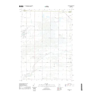
2018 Map of Coloma NW
USGS Topo · Published 2018About this map
Big Roche a Cri Creek and its tributary Big Roche a Cri Cr flow through the southern portion of this landscape, which straddles the borders of Adams, Wood, and Portage Counties. The terrain is defined by low-lying wetlands and intermittent streams, punctuated by distinctive formations like Owens Rock and Keystone Rock. Human presence is mapped through a grid of rural roads and localized industry, including a Quarry and 18 Reservoir. Genealogists and local historians will find the Holliday Cem and Coloma-Leola Cem as significant landmarks for tracing family roots in this corner of Wisconsin. In the north, Spring Br crosses into the neighboring county, while the winding course of Fourteenmile Creek shapes the western edge of this territory.
Find a feature on this map
43 named features on this map. Tap any name to fly to it.
Don’t see what you’re looking for? This feature index may not catch every label — zoom into the map to look around manually.
Map Details
Editions of this 2018 Coloma NW Map
This is the sole edition of this map. No revisions or reprints were ever made.
Other maps of this area

1955 · Green Bay
USGS Topo · 1:250,000

1957 · Wisconsin Rapids
USGS Topo · 1:48,000

1957 · Whiting
USGS Topo · 1:48,000

1958 · Arkdale
USGS Topo · 1:48,000

1958 · Coloma
USGS Topo · 1:48,000

1967 · Roche A Cri
USGS Topo · 1:24,000

1967 · Arkdale NE
USGS Topo · 1:24,000

1967 · Wisconsin Rapids
USGS Topo · 1:62,500

1968 · Coloma NW
USGS Topo · 1:24,000

1968 · Coloma SW
USGS Topo · 1:24,000