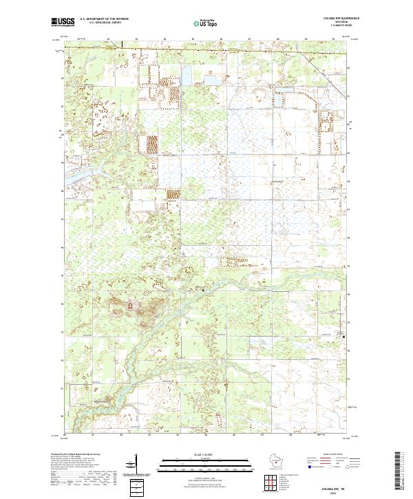
2022 Map of Coloma NW
USGS Topo · Published 2022About this map
Big Roche-a-Cri Cr and Fourteenmile Creek wind through this central Wisconsin landscape, marking a terrain defined by glacial drainage and prominent outcroppings. The map captures a transition where the headwaters of Spring Br meet the high ground of the Wood, Adams, and Portage county lines. Distinctive geological landmarks like Owens Rock and Keystone Rock rise above the surrounding wetlands and fields, serving as natural waypoints in a region dominated by a precise section-line road grid.
Find a feature on this map
50 named features on this map. Tap any name to fly to it.
Don’t see what you’re looking for? This feature index may not catch every label — zoom into the map to look around manually.
Map Details
Editions of this 2022 Coloma NW Map
This is the sole edition of this map. No revisions or reprints were ever made.
Other maps of this area

1955 · Green Bay
USGS Topo · 1:250,000

1957 · Wisconsin Rapids
USGS Topo · 1:48,000

1957 · Whiting
USGS Topo · 1:48,000

1958 · Arkdale
USGS Topo · 1:48,000

1958 · Coloma
USGS Topo · 1:48,000

1967 · Roche A Cri
USGS Topo · 1:24,000

1967 · Arkdale NE
USGS Topo · 1:24,000

1967 · Wisconsin Rapids
USGS Topo · 1:62,500

1968 · Coloma NW
USGS Topo · 1:24,000

1968 · Coloma SW
USGS Topo · 1:24,000