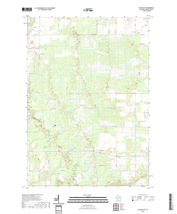
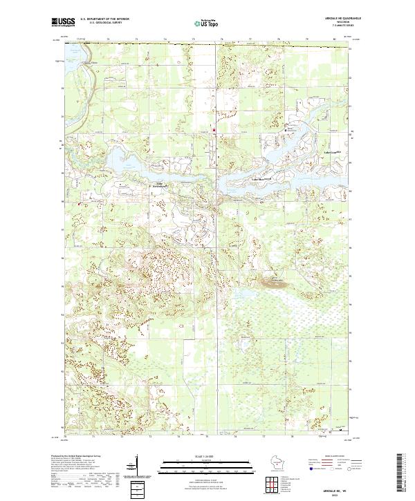
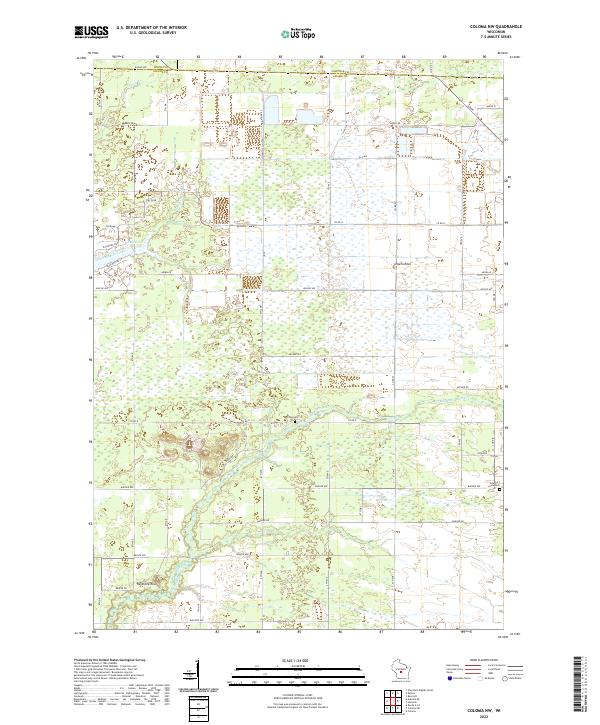
2022 Map of Coloma SW
USGS Topo · Published 2022About this map
Indian Cem, located in the western portion of this Adams County landscape, points to a deeper history within the township boundaries of T19N R6E and T18N R6E. The area is defined by a complex network of wetlands and small waterways, including the winding course of Bingham Cr and the larger Little Roche-a-Cri Cr which flows across the southern sections. Notable terrain features such as Ship Rock rise near the junction of Cumberland Ave and 4th Ave, serving as a distinct landmark in an otherwise low-lying region. The late-twentieth-century road grid, comprising names like Cottonville Ave and Chicago Ave, overlays a drainage system that includes Carter Cr and Dry Cr. This detailed survey documents the intersection of rural land management and the natural hydrology of central Wisconsin.
Find a feature on this map
37 named features on this map. Tap any name to fly to it.
Don’t see what you’re looking for? This feature index may not catch every label — zoom into the map to look around manually.
Map Details
Editions of this 2022 Coloma SW Map
This is the sole edition of this map. No revisions or reprints were ever made.
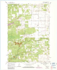
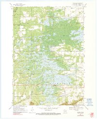
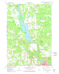
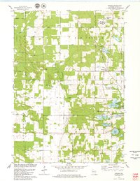
Historical Maps of Big Flats Through Time
14 maps found
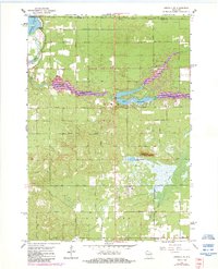
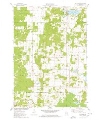
1967 Arkdale NE
Adams County, WI

1967 Roche A Cri
Adams County, WI
1968 Coloma NW
Adams County, WI
1968 Coloma SW
Adams County, WI
1975 Big Spring
Adams County, WI
1975 Wisconsin Dells North
Adams County, WI
1979 Brooks
Adams County, WI
2022 Arkdale NE
Adams County, WI
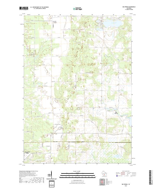
2022 Big Spring
Adams County, WI
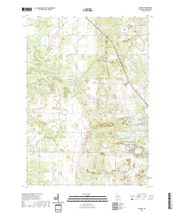
2022 Brooks
Adams County, WI
2022 Coloma NW
Adams County, WI
2022 Coloma SW
Adams County, WI
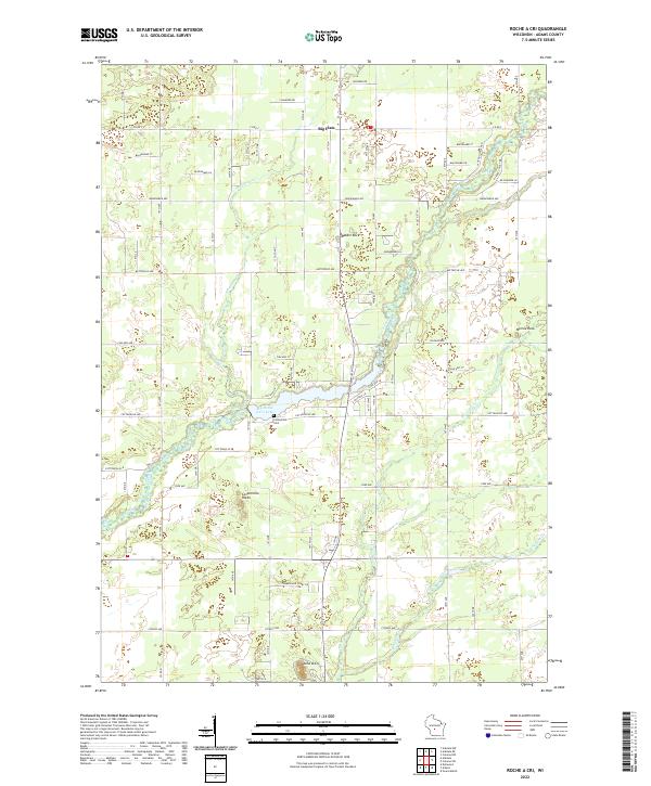
2022 Roche A Cri
Adams County, WI
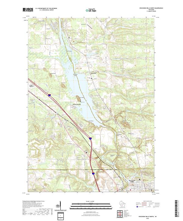
2022 Wisconsin Dells North
Adams County, WI