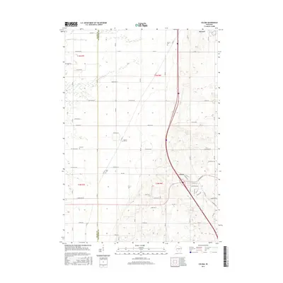
2015 Map of Coloma
USGS Topo · Published 2015About this map
Coloma serves as the primary hub of this central Wisconsin landscape, where the local road network converges around Wautoma Rd and E Main St. The terrain is defined by a series of low ridges and agricultural fields, with the Adams and Waushara county line dividing the western third of the map. Traces of the area's rural heritage are evident in the numerous small burial grounds, such as White Cem, Fish Cem, and Pleasant Hill Cem, which are scattered throughout the townships.
Find a feature on this map
46 named features on this map. Tap any name to fly to it.
Don’t see what you’re looking for? This feature index may not catch every label — zoom into the map to look around manually.
Map Details
Editions of this 2015 Coloma Map
This is the sole edition of this map. No revisions or reprints were ever made.
Other maps of this area

1955 · Green Bay
USGS Topo · 1:250,000

1957 · Madison
USGS Topo · 1:250,000

1958 · Coloma
USGS Topo · 1:48,000

1959 · Wautoma
USGS Topo · 1:48,000

1960 · Madison
USGS Topo · 1:250,000

1961 · Oxford
USGS Topo · 1:62,500

1961 · Montello
USGS Topo · 1:62,500

1968 · Coloma NW
USGS Topo · 1:24,000

1968 · Coloma SW
USGS Topo · 1:24,000

1968 · Coloma
USGS Topo · 1:24,000