2022 Map of Colona
USGS Topo · Published 2022About this map
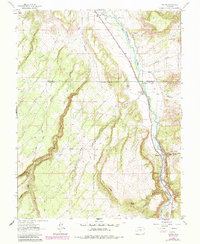
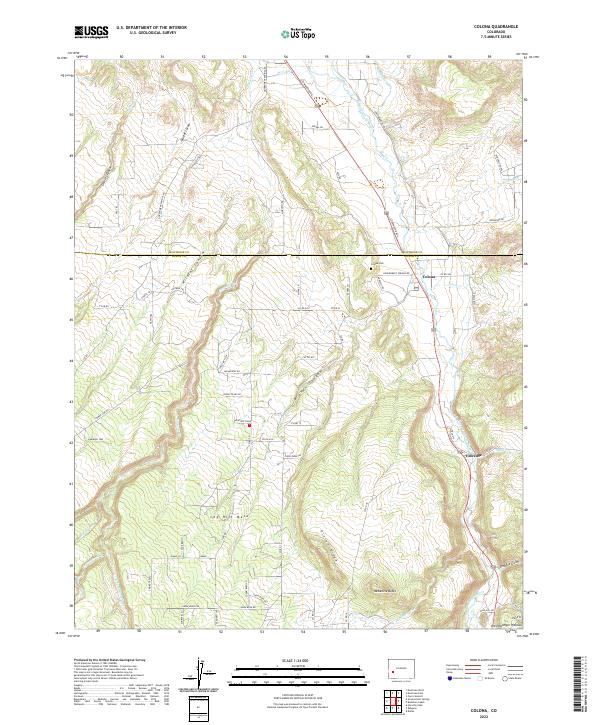
The Uncompahgre River corridor defines this portion of the Western Slope, where the valley floor transitions into the elevated terrain of Log Hill Mesa and the Uncompahgre Plateau. The small settlement of Colona sits near the Montrose Co Ouray Co boundary, serving as a focal point for local history along with the nearby Colona Cem. Irrigation infrastructure, critical to the region's agricultural development, is represented by the McDonald Ditch and W Canal, which draw from the river to water the surrounding benchlands.
Find a feature on this map
58 named features on this map. Tap any name to fly to it.
Don’t see what you’re looking for? This feature index may not catch every label — zoom into the map to look around manually.
Map Details
Editions of this 2022 Colona Map
This is the sole edition of this map. No revisions or reprints were ever made.