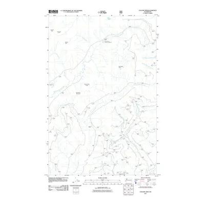
2011 Map of Colonel Bob
USGS Topo · Published 2011About this map
Colonel Bob Lookout stands as a prominent high point in this 2011 survey of the Olympic Peninsula backcountry. The landscape is defined by the complex drainage systems of the West Fork Humptulips River and the Wynoochee River, with numerous tributaries such as Gibson Creek and Petes Creek carving through the elevation. This era of the forest is marked by established recreational infrastructure, including the Campbell Tree Grove Campground and backcountry waypoints like Campbell Shelter and East Fork Shelter. High-altitude features like Gibson Peak and Stovepipe Mountain punctuate the ridges, while the presence of Elk Lake provides a rare still-water feature among the network of mountain streams. The map traces a dense web of Forest Service roads that connect these summits, offering a detailed record of land management and access in the early 21st century.
Find a feature on this map
24 named features on this map. Tap any name to fly to it.
Don’t see what you’re looking for? This feature index may not catch every label — zoom into the map to look around manually.
Map Details
Editions of this 2011 Colonel Bob Map
This is the sole edition of this map. No revisions or reprints were ever made.
Other maps of this area

1921 · Quinault Lake
USGS Topo · 1:62,500

1921 · Satsop
USGS Topo · 1:62,500

1947 · Mt Christie
USGS Topo · 1:62,500

1950 · Mt Christie
USGS Topo · 1:62,500

1955 · Grisdale
USGS Topo · 1:62,500

1955 · Quinault Lake
USGS Topo · 1:62,500

1956 · Kloochman Rock
USGS Topo · 1:62,500

1958 · Seattle
USGS Topo · 1:250,000

1962 · Seattle
USGS Topo · 1:250,000
1988 · Shelton
USGS Topo · 1:100,000