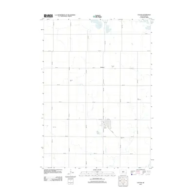
2012 Map of Colton
USGS Topo · Published 2012About this map
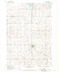
The agrarian landscape of Minnehaha County is defined by a grid of section-line roads and scattered spiritual landmarks. The town of Colton serves as the primary hub, where the local Po and street grid at the intersection of N Main Ave and W 1st St anchor the community. Beyond the town limits, the terrain is marked by essential local history sites, including the Taopi Cem to the west and the Minnehaha Cem to the south along 465th Ave.
Find a feature on this map
33 named features on this map. Tap any name to fly to it.
Don’t see what you’re looking for? This feature index may not catch every label — zoom into the map to look around manually.
Map Details
Editions of this 2012 Colton Map
This is the sole edition of this map. No revisions or reprints were ever made.
Other maps of this area

1955 · Sioux Falls
USGS Topo · 1:250,000

1958 · Sioux Falls
USGS Topo · 1:250,000
1962 · Colton SE
USGS Topo · 1:24,000
1962 · Hartford North
USGS Topo · 1:24,000
1962 · Crooks
USGS Topo · 1:24,000
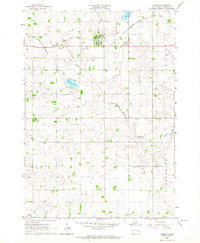
1963 · Colman
USGS Topo · 1:24,000
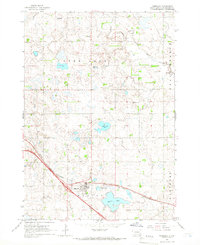
1964 · Humboldt
USGS Topo · 1:24,000
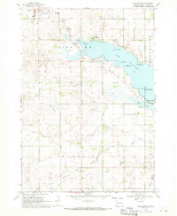
1968 · Lake Madison
USGS Topo · 1:24,000
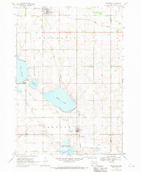
1968 · Wentworth
USGS Topo · 1:24,000
1968 · Colton
USGS Topo · 1:24,000