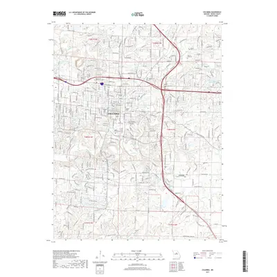
2017 Map of Columbia
USGS Topo · Published 2017About this map
Columbia serves as a dense educational and medical hub in this mid-2017 survey, dominated by the sprawling campuses of the Univ of Missouri, Stephens College, and Columbia College. The landscape is defined by the winding course of Hinkson Cr and its tributaries, including Grindstone Cr and Flat Br, which carve through the city's residential and commercial expansion.
Find a feature on this map
317 named features on this map. Tap any name to fly to it.
Don’t see what you’re looking for? This feature index may not catch every label — zoom into the map to look around manually.
Map Details
Editions of this 2017 Columbia Map
This is the sole edition of this map. No revisions or reprints were ever made.
Other maps of this area

1886 · Jefferson City
USGS Topo · 1:125,000

1890 · Moberly
USGS Topo · 1:125,000

1894 · Jefferson City
USGS Topo · 1:125,000

1917 · Sturgeon
USGS Topo · 1:62,500

1935 · Columbia
USGS Topo · 1:24,000

1940 · Columbia
USGS Topo · 1:24,000

1944 · Millersburg
USGS Topo · 1:62,500

1945 · Centralia
USGS Topo · 1:62,500

1946 · Millersburg
USGS Topo · 1:62,500

1947 · Jefferson City
USGS Topo · 1:250,000