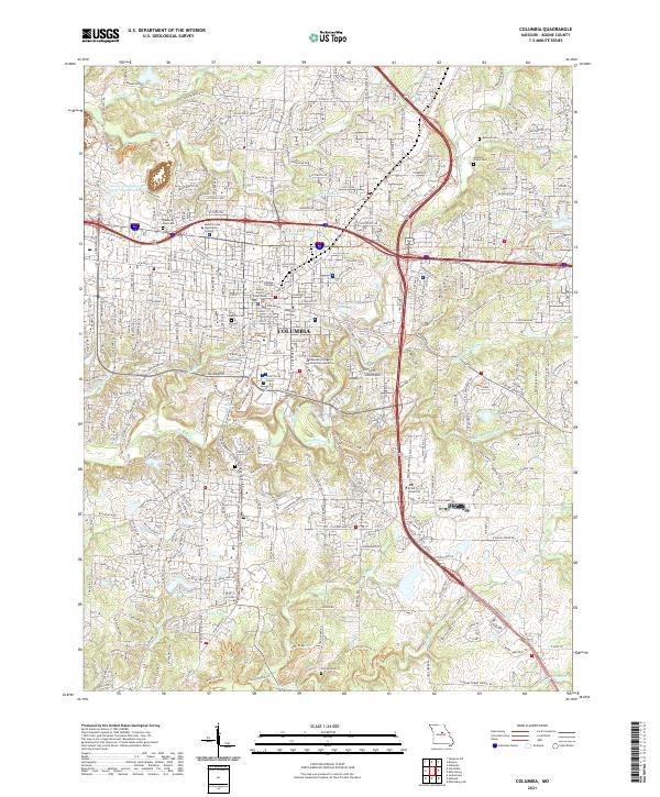
2021 Map of Columbia
USGS Topo · Published 2021About this map
Columbia serves as a prominent educational and civic center in this modern survey, defined by the expansive campuses of the University of Missouri, Columbia College, and Stephens College. The city's layout is intricately tied to its waterways, with Hinkson Creek and Grindstone Creek carving through the landscape, accompanied by an extensive network of recreational paths like the Grindstone Creek Trail and Hominy Creek Trail.
Find a feature on this map
47 named features on this map. Tap any name to fly to it.
Don’t see what you’re looking for? This feature index may not catch every label — zoom into the map to look around manually.
Map Details
Editions of this 2021 Columbia Map
This is the sole edition of this map. No revisions or reprints were ever made.
Other maps of this area

1886 · Jefferson City
USGS Topo · 1:125,000

1890 · Moberly
USGS Topo · 1:125,000

1894 · Jefferson City
USGS Topo · 1:125,000

1917 · Sturgeon
USGS Topo · 1:62,500

1935 · Columbia
USGS Topo · 1:24,000

1940 · Columbia
USGS Topo · 1:24,000

1944 · Millersburg
USGS Topo · 1:62,500

1945 · Centralia
USGS Topo · 1:62,500

1946 · Millersburg
USGS Topo · 1:62,500

1947 · Jefferson City
USGS Topo · 1:250,000