
1921 Map of Columbia Falls
USGS Topo · Published 1921About this map
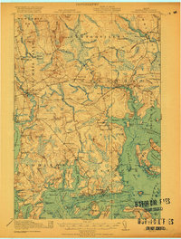
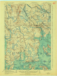
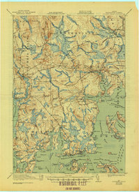
Jonesport and West Jonesport anchor the southern coastal edge of this Down East landscape, where the seafaring economy of Moosabec Reach meets the interior timberlands of Township No 19. The coastal profile is deeply fractured by Englishman Bay and Chandler Bay, with Roque Island and Great Spruce Island protecting the inner harbors. Inland, the Maine Central Railroad cuts across the quadrangle, serving Jonesboro Sta and Columbia Falls, providing a vital link for the small settlements of Tibbetts Town and Centerville.
Find a feature on this map
106 named features on this map. Tap any name to fly to it.
Don’t see what you’re looking for? This feature index may not catch every label — zoom into the map to look around manually.
Map Details
Editions of this 1921 Columbia Falls Map
4 editions found
Other maps of this area

1902 · Cherryfield
USGS Topo · 1:62,500

1904 · Cherryfield
USGS Topo · 1:62,500

1904 · Petit Manan
USGS Topo · 1:62,500

1918 · Machias
USGS Topo · 1:62,500

1921 · Great Wass Island
USGS Topo · 1:62,500

1921 · Columbia Falls
USGS Topo · 1:62,500

1941 · Columbia Falls
USGS Topo · 1:62,500

1941 · Machias
USGS Topo · 1:62,500

1941 · Wesley
USGS Topo · 1:62,500

1941 · Gardner Lake
USGS Topo · 1:62,500