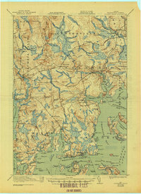
1921 Map of Columbia Falls
USGS Topo · Published 1944About this map
Maine Central RR tracks cut through the dense forests and marshlands of Washington County, linking inland hubs like Jonesboro Sta and Columbia Falls with the broader coastal economy. The landscape is defined by the heavy presence of logging and fishing infrastructure, where the Chandler River and Machias River flow toward a complex archipelago of islands and bays. Small centers of community life are scattered throughout the backcountry, including White School and Monsapec School.
Find a feature on this map
136 named features on this map. Tap any name to fly to it.
Don’t see what you’re looking for? This feature index may not catch every label — zoom into the map to look around manually.
Map Details
Editions of this 1921 Columbia Falls Map
4 editions found
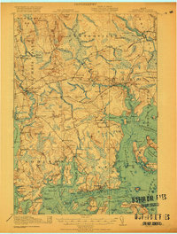
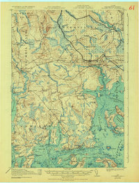
Other maps of this area

1902 · Cherryfield
USGS Topo · 1:62,500

1904 · Cherryfield
USGS Topo · 1:62,500

1904 · Petit Manan
USGS Topo · 1:62,500

1918 · Machias
USGS Topo · 1:62,500

1921 · Great Wass Island
USGS Topo · 1:62,500

1921 · Columbia Falls
USGS Topo · 1:62,500

1921 · Columbia Falls
USGS Topo · 1:62,500

1941 · Columbia Falls
USGS Topo · 1:62,500

1941 · Machias
USGS Topo · 1:62,500

1941 · Wesley
USGS Topo · 1:62,500