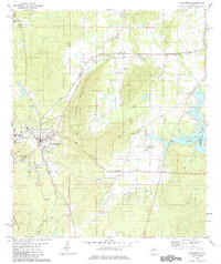
1980 Map of Columbia
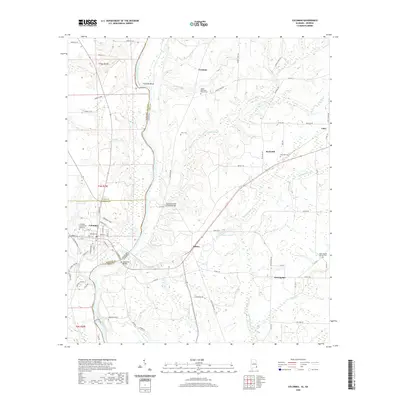
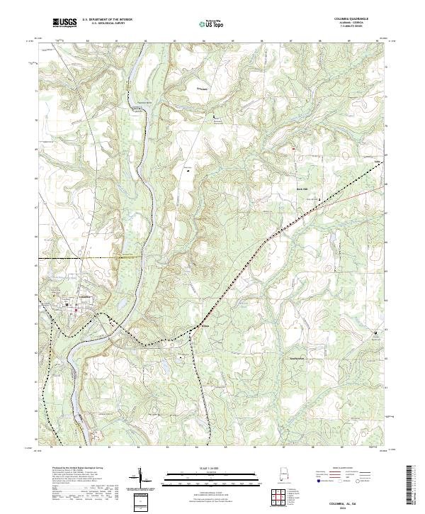
USGS Topo · Published 1984About this map
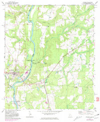
Columbiana Mountain dominates this portion of Shelby County, creating a natural barrier between the settled valleys of Columbiana and the backwaters of the Coosa River. By the early 1980s, the landscape reflected a mix of civic infrastructure and rural tradition, anchored by the County High Sch and the municipal Sewage Disposal Pond. The town's religious and family heritage is preserved through numerous sites such as Bethel Ch, Old Chapel Ch, and Verchot Cem. To the east, the impoundment of Lay Lake provides a recreational contrast to the industrial corridors of the Southern and Louisville and Nashville railroads. Local transport and trade intersect at Kingdom Crossroads, while the Huntsville Meridian serves as a primary surveying reference across the terrain.
Find a feature on this map
43 named features on this map. Tap any name to fly to it.
Don’t see what you’re looking for? This feature index may not catch every label — zoom into the map to look around manually.
Map Details
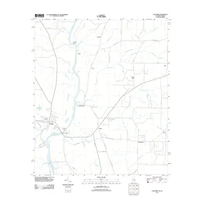
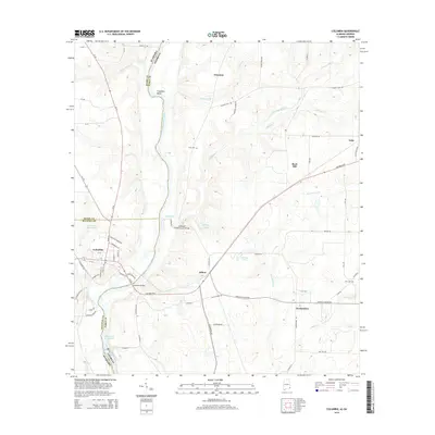
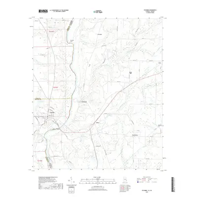
Editions of this 1980 Columbia Map
This is the sole edition of this map. No revisions or reprints were ever made.
Historical Maps of Columbia Through Time
7 maps found