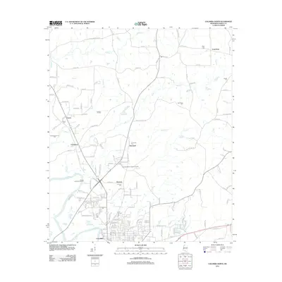
2012 Map of Columbia North
USGS Topo · Published 2012About this map
The Pearl River winds through the southern portion of this landscape, creating a distinct Horseshoe Bend just west of the city of Columbia. This region reflects a complex geography of rural settlements and industrial activity, notably the Columbia Oil Field and the East Morgantown Oil Field. The town of Columbia serves as the southern anchor, while smaller communities like Expose, Fortenberry, Emmanuel, and Harmony are scattered throughout the northern reaches of Marion County.
Find a feature on this map
159 named features on this map. Tap any name to fly to it.
Don’t see what you’re looking for? This feature index may not catch every label — zoom into the map to look around manually.
Map Details
Editions of this 2012 Columbia North Map
This is the sole edition of this map. No revisions or reprints were ever made.
Other maps of this area

1953 · Hattiesburg
USGS Topo · 1:250,000

1958 · Hattiesburg
USGS Topo · 1:250,000

1969 · Pinebur
USGS Topo · 1:24,000

1970 · Columbia South
USGS Topo · 1:24,000

1970 · Sandy Hook NW
USGS Topo · 1:24,000

1970 · Bunker Hill
USGS Topo · 1:24,000

1970 · Morgantown
USGS Topo · 1:24,000

1970 · Oak Vale
USGS Topo · 1:24,000

1970 · Columbia North
USGS Topo · 1:24,000

1974 · Bassfield
USGS Topo · 1:24,000