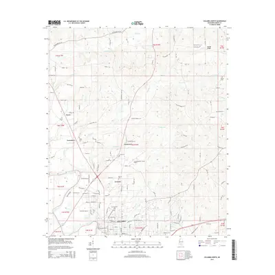
2015 Map of Columbia North
USGS Topo · Published 2015About this map
The Pearl River forms a defining natural boundary in this Mississippi landscape, winding past the northern outskirts of Columbia. This 2015 survey illustrates a transition from the dense street grid of the city to the surrounding rural hamlets and agricultural lands of Marion County. To the north, small settlements like Harmony, Emmanuel, and Good Hope serve as community anchors, often centered around local cemeteries such as Harmony Cem and Good Hope Cem. The terrain is etched by numerous drainage systems, including Buckhorn Cr, Harper Cr, and Twitty Cr, which flow through the undulating piney woods. Infrastructure is represented by the Columbia-Marion County Airport and a network of rural roads such as Gross Bunker Hill Rd and Delancey-Robbins Rd, reflecting the modern connectivity of these established rural communities.
Find a feature on this map
124 named features on this map. Tap any name to fly to it.
Don’t see what you’re looking for? This feature index may not catch every label — zoom into the map to look around manually.
Map Details
Editions of this 2015 Columbia North Map
This is the sole edition of this map. No revisions or reprints were ever made.
Other maps of this area

1953 · Hattiesburg
USGS Topo · 1:250,000

1958 · Hattiesburg
USGS Topo · 1:250,000

1969 · Pinebur
USGS Topo · 1:24,000

1970 · Columbia South
USGS Topo · 1:24,000

1970 · Sandy Hook NW
USGS Topo · 1:24,000

1970 · Bunker Hill
USGS Topo · 1:24,000

1970 · Morgantown
USGS Topo · 1:24,000

1970 · Oak Vale
USGS Topo · 1:24,000

1970 · Columbia North
USGS Topo · 1:24,000

1974 · Bassfield
USGS Topo · 1:24,000