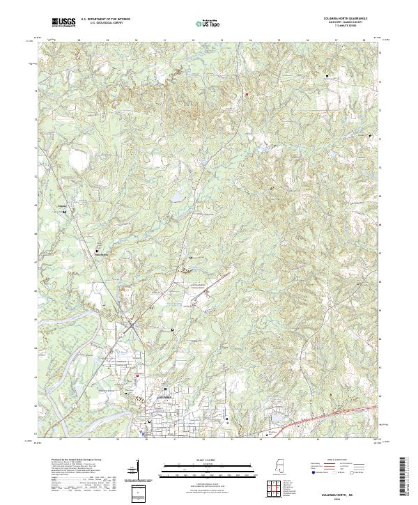
2024 Map of Columbia North
USGS Topo · Published 2024About this map
Columbia serves as the primary hub in this portion of Marion County, situated along the banks of the Pearl River. The landscape is defined by the river's winding course and its various tributaries, including Black Branch and Dry Creek, which cut through the surrounding terrain. Small residential clusters and family-named locales such as Expose and Fortenberry are scattered north of the city center, connected by a network of rural roads like Goss Bunker Hill Rd and Pope Rd.
Find a feature on this map
128 named features on this map. Tap any name to fly to it.
Don’t see what you’re looking for? This feature index may not catch every label — zoom into the map to look around manually.
Map Details
Editions of this 2024 Columbia North Map
This is the sole edition of this map. No revisions or reprints were ever made.
Other maps of this area

1953 · Hattiesburg
USGS Topo · 1:250,000

1958 · Hattiesburg
USGS Topo · 1:250,000

1969 · Pinebur
USGS Topo · 1:24,000

1970 · Columbia South
USGS Topo · 1:24,000

1970 · Sandy Hook NW
USGS Topo · 1:24,000

1970 · Bunker Hill
USGS Topo · 1:24,000

1970 · Morgantown
USGS Topo · 1:24,000

1970 · Oak Vale
USGS Topo · 1:24,000

1970 · Columbia North
USGS Topo · 1:24,000

1974 · Bassfield
USGS Topo · 1:24,000