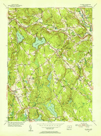
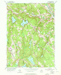
1953 Map of Columbia
USGS Topo · Published 1955About this map
The New York and New Haven and Hartford Railroad cuts through the Tolland County landscape, connecting the rural communities of Andover and Columbia during the mid-1950s. This era shows a region defined by its reliance on water and rail, with numerous small bodies of water like Mono Pond, Williams Pond, and Amston Lake dotting the glaciated terrain. The map records a series of distinct local neighborhoods and crossroads, including Chestnut Hill, Hebron, and Perkins Corner.
Find a feature on this map
69 named features on this map. Tap any name to fly to it.
Don’t see what you’re looking for? This feature index may not catch every label — zoom into the map to look around manually.
Map Details
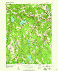
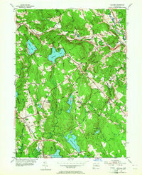
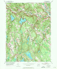
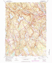
Editions of this 1953 Columbia Map
6 editions found
Other maps of this area

1892 · Woodstock
USGS Topo · 1:62,500

1892 · Tolland
USGS Topo · 1:62,500

1892 · Norwich
USGS Topo · 1:62,500

1892 · Gilead
USGS Topo · 1:62,500

1921 · Tolland
USGS Topo · 1:62,500

1921 · Woodstock
USGS Topo · 1:62,500

1943 · Fitchville
USGS Topo · 1:31,680

1944 · Marlboro
USGS Topo · 1:31,680

1944 · South Coventry
USGS Topo · 1:31,680

1944 · Columbia
USGS Topo · 1:31,680