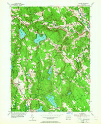
1953 Map of Columbia
USGS Topo · Published 1964About this map
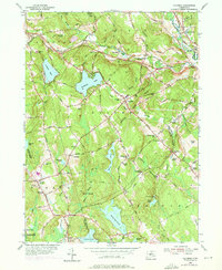
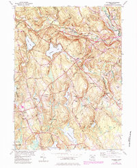
The New York New Haven and Hartford railroad cuts through this Connecticut landscape, linking the rural villages of Andover and Columbia during the mid-century period. The terrain is characterized by a series of prominent hills like Bunker Hill and Chestnut Hill, interspersed with significant water bodies such as Columbia Lake, Andover Lake, and Mono Pond. This 1953 revision reveals a community structured around local education and faith, evidenced by the numerous district schools like Porter Sch and Chestnut Hill Sch, alongside landmarks like the Synagogue and St Peters Cem.
Find a feature on this map
84 named features on this map. Tap any name to fly to it.
Don’t see what you’re looking for? This feature index may not catch every label — zoom into the map to look around manually.
Map Details
Editions of this 1953 Columbia Map
6 editions found
Other maps of this area

1892 · Woodstock
USGS Topo · 1:62,500

1892 · Tolland
USGS Topo · 1:62,500

1892 · Norwich
USGS Topo · 1:62,500

1892 · Gilead
USGS Topo · 1:62,500

1921 · Tolland
USGS Topo · 1:62,500

1921 · Woodstock
USGS Topo · 1:62,500

1943 · Fitchville
USGS Topo · 1:31,680

1944 · Marlboro
USGS Topo · 1:31,680

1944 · South Coventry
USGS Topo · 1:31,680

1944 · Columbia
USGS Topo · 1:31,680