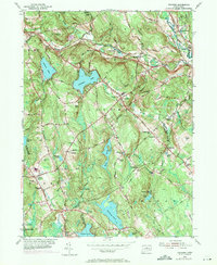
1953 Map of Columbia
USGS Topo · Published 1971About this map
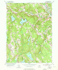
The Penn Central rail corridor and the winding Hop River define the northern valley of this mid-century Connecticut landscape, captured just as suburban patterns began to overlay traditional rural townships. The map highlights a region of scattered village centers like Columbia, Andover, and Hebron, where civic life remained anchored by local institutions such as Porter Sch and the Columbia Cem. The terrain is punctuated by significant water bodies, including Columbia Lake, Mono Pond, and the southern Amston Lake, which by this era supported seasonal recreation at sites like the Fresh Air Camp.
Find a feature on this map
63 named features on this map. Tap any name to fly to it.
Don’t see what you’re looking for? This feature index may not catch every label — zoom into the map to look around manually.
Map Details
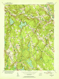
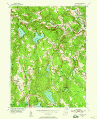
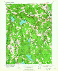
Editions of this 1953 Columbia Map
6 editions found
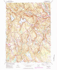
Other maps of this area

1892 · Woodstock
USGS Topo · 1:62,500

1892 · Tolland
USGS Topo · 1:62,500

1892 · Norwich
USGS Topo · 1:62,500

1892 · Gilead
USGS Topo · 1:62,500

1921 · Tolland
USGS Topo · 1:62,500

1921 · Woodstock
USGS Topo · 1:62,500

1943 · Fitchville
USGS Topo · 1:31,680

1944 · Marlboro
USGS Topo · 1:31,680

1944 · South Coventry
USGS Topo · 1:31,680

1944 · Columbia
USGS Topo · 1:31,680