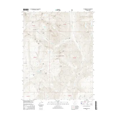
2016 Map of Columbine Pass
USGS Topo · Published 2016About this map
Chicago Basin and the surrounding high-elevation landscape of the Needle Mountains dominate this portion of the San Juan National Forest. The geography is defined by a dense cluster of peaks including Mt Eolus, Windom Peak, and Jupiter Mtn, all situated in the northern reaches of the quadrangle. A network of historic paths, such as the Needle Creek Trail and Vallecito Trail, provide the primary means of navigating this roadless backcountry, connecting mountain passes like Columbine Pass and Trimble Pass. In the southwest, the infrastructure of the Florida River watershed is evident through the City Reservoir and Durango-Reservoir Number 1. This map captures a pristine alpine wilderness where water features like Hazel Lake and Castilleja Lake are tucked into high glacial cirques, far removed from modern development.
Find a feature on this map
67 named features on this map. Tap any name to fly to it.
Don’t see what you’re looking for? This feature index may not catch every label — zoom into the map to look around manually.
Map Details
Editions of this 2016 Columbine Pass Map
This is the sole edition of this map. No revisions or reprints were ever made.
Other maps of this area

1900 · Needle Mountains
USGS Topo · 1:62,500

1902 · Needle Mountains
USGS Topo · 1:62,500

1905 · San Cristobal
USGS Topo · 1:125,000

1907 · San Cristobal
USGS Topo · 1:125,000

1908 · Ignacio
USGS Topo · 1:125,000

1924 · Ignacio
USGS Topo · 1:125,000

1924 · Pagosa Springs
USGS Topo · 1:125,000

1927 · Pagosa Springs
USGS Topo · 1:125,000

1945 · Durango
USGS Topo · 1:250,000

1953 · Durango
USGS Topo · 1:250,000