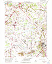
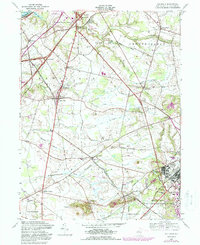
1957 Map of Columbus
USGS Topo · Published 1971About this map
The Delaware River forms the northwestern boundary of this landscape, framing Newbold Island and the transition from riverfront to the agricultural and military interior of Burlington County. The 1970 revisions, marked in purple, highlight significant infrastructure growth, particularly the expansion of the New Jersey Turnpike and Pennsylvania Turnpike interchange near Mansfield Square. This development contrasts with the traditional settlement patterns of smaller communities like Columbus, Chesterfield, and Georgetown, which remain centered on historic crossroads.
Find a feature on this map
46 named features on this map. Tap any name to fly to it.
Don’t see what you’re looking for? This feature index may not catch every label — zoom into the map to look around manually.
Map Details
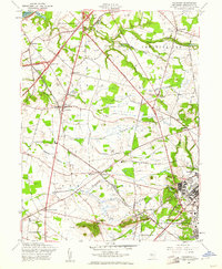
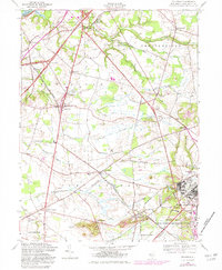
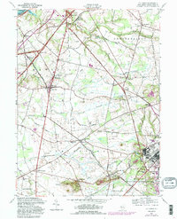
Editions of this 1957 Columbus Map
5 editions found
Other maps of this area

1888 · Bordentown
USGS Topo · 1:62,500

1888 · Pemberton
USGS Topo · 1:62,500

1888 · Mount Holly
USGS Topo · 1:62,500

1890 · Burlington
USGS Topo · 1:62,500

1893 · Bordentown
USGS Topo · 1:62,500

1893 · Burlington
USGS Topo · 1:62,500

1894 · Pemberton
USGS Topo · 1:62,500

1894 · Mount Holly
USGS Topo · 1:62,500

1898 · Pemberton
USGS Topo · 1:62,500

1898 · Mount Holly
USGS Topo · 1:62,500
Featured Places
- Bordentown Township, NJ
- Mansfield Township, NJ
- Chesterfield Township, NJ
- Eastampton Township, NJ
- Springfield Township, NJ