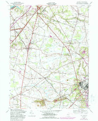
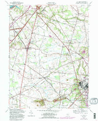
1957 Map of Columbus
USGS Topo · Published 1988About this map
Bordentown and the surrounding townships of Mansfield and Chesterfield define this central New Jersey landscape, where agriculture and early transportation routes intersect. The New Jersey Turnpike cuts a modern diagonal across traditional agrarian fields, connecting interchanges near Columbus and Mansfield Square. Local life centers around rural institutions like the Columbus Civic and Athletic Club, the Fairgrounds, and St Andrews church.
Find a feature on this map
49 named features on this map. Tap any name to fly to it.
Don’t see what you’re looking for? This feature index may not catch every label — zoom into the map to look around manually.
Map Details
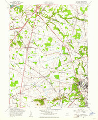
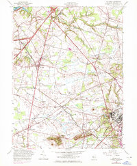
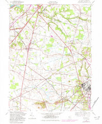
Editions of this 1957 Columbus Map
5 editions found
Other maps of this area

1888 · Bordentown
USGS Topo · 1:62,500

1888 · Pemberton
USGS Topo · 1:62,500

1888 · Mount Holly
USGS Topo · 1:62,500

1890 · Burlington
USGS Topo · 1:62,500

1893 · Bordentown
USGS Topo · 1:62,500

1893 · Burlington
USGS Topo · 1:62,500

1894 · Pemberton
USGS Topo · 1:62,500

1894 · Mount Holly
USGS Topo · 1:62,500

1898 · Pemberton
USGS Topo · 1:62,500

1898 · Mount Holly
USGS Topo · 1:62,500
Featured Places
- Bordentown Township, NJ
- Mansfield Township, NJ
- Chesterfield Township, NJ
- Eastampton Township, NJ
- Springfield Township, NJ