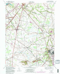
1957 Map of Columbus
USGS Topo · Published 1988About this map
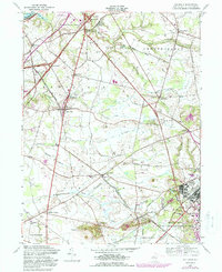
Bordentown and the agricultural lands of Mansfield and Chesterfield dominate this mid-century topographic survey of Burlington County. The landscape is a mix of traditional New Jersey farming communities and burgeoning mid-century infrastructure, illustrated by the presence of the New Jersey Turnpike and the Penn Central rail lines. To the southeast, the Fort Dix Military Reservation occupies a significant portion of the terrain, while local recreation spots like the Mount Holly Speedway and the Columbus Civic and Athletic Club reflect the era's social life. Several notable waterways, including Assiscunk Creek and Blacks Creek, drain toward the Delaware, passing historical landmarks such as Wallace Mill and the prominent Arneys Mount. The map captures a moment before modern suburbanization, where crossroads like Georgetown, Jobstown, and Juliustown remained distinct rural centers.
Find a feature on this map
46 named features on this map. Tap any name to fly to it.
Don’t see what you’re looking for? This feature index may not catch every label — zoom into the map to look around manually.
Map Details
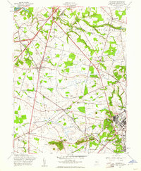
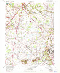
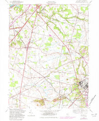
Editions of this 1957 Columbus Map
5 editions found
Other maps of this area

1888 · Bordentown
USGS Topo · 1:62,500

1888 · Pemberton
USGS Topo · 1:62,500

1888 · Mount Holly
USGS Topo · 1:62,500

1890 · Burlington
USGS Topo · 1:62,500

1893 · Bordentown
USGS Topo · 1:62,500

1893 · Burlington
USGS Topo · 1:62,500

1894 · Pemberton
USGS Topo · 1:62,500

1894 · Mount Holly
USGS Topo · 1:62,500

1898 · Pemberton
USGS Topo · 1:62,500

1898 · Mount Holly
USGS Topo · 1:62,500
Featured Places
- Bordentown Township, NJ
- Mansfield Township, NJ
- Chesterfield Township, NJ
- Eastampton Township, NJ
- Springfield Township, NJ