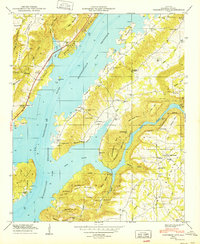
1949 Map of Columbus City
USGS Topo · Published 1949About this map
The Tennessee River dominates this landscape as it widens into the Guntersville Reservoir, creating a complex shoreline around Columbus City and Meltonsville. The terrain transitions sharply from the inundated lowlands to the high ridges of Gunters Mountain and Sand Mountain. This 1949 edition by the Tennessee Valley Authority documents the post-impoundment topography, showing how the reservoir boundary winded through gaps like Village Ford Gap and Smith Gap.
Find a feature on this map
58 named features on this map. Tap any name to fly to it.
Don’t see what you’re looking for? This feature index may not catch every label — zoom into the map to look around manually.
Map Details
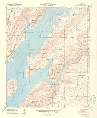
Editions of this 1949 Columbus City Map
2 editions found
Other maps of this area

1885 · Gadsden
USGS Topo · 1:125,000

1888 · Gadsden
USGS Topo · 1:125,000

1888 · Scottsboro
USGS Topo · 1:125,000

1892 · Scottsboro
USGS Topo · 1:125,000

1892 · Gadsden
USGS Topo · 1:125,000

1895 · Gadsden
USGS Topo · 1:125,000

1903 · Gadsden
USGS Topo · 1:125,000

1936 · Painter
USGS Topo · 1:24,000

1936 · Guntersville
USGS Topo · 1:24,000

1936 · Columbus City
USGS Topo · 1:24,000
Featured Places
- Guntersville, AL
- Star Point Subdivision, AL
- Five Points, AL
- Tanglewood, AL
- Little New York, Guntersville