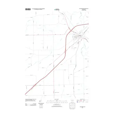
2013 Map of Columbus
USGS Topo · Published 2013About this map
The Crawfish River meanders through the landscape of south-central Wisconsin, anchoring the development of Columbus. This 2013 survey illustrates the town's modern street grid, which is clustered tightly around the river bend, featuring historic corridors like S Main St and W James St. The surrounding countryside is defined by a systematic network of rural routes and family-named roads such as Boelte Rd and Mickelson Rd, reflecting the agricultural heritage of Columbia County. South of the main settlement, the Mathaire Field Airport stands as a notable aviation landmark situated near Nolan Cr. The map captures the significant transition of regional travel, showing where Old Hwy 73 and the newer State Road 73 Temkin Rd diverge, offering a clear record of 21st-century infrastructure layered over traditional farmstead boundaries.
Find a feature on this map
67 named features on this map. Tap any name to fly to it.
Don’t see what you’re looking for? This feature index may not catch every label — zoom into the map to look around manually.
Map Details
Editions of this 2013 Columbus Map
This is the sole edition of this map. No revisions or reprints were ever made.
Other maps of this area

1890 · Sun Prairie
USGS Topo · 1:62,500

1891 · Waterloo
USGS Topo · 1:62,500

1894 · Waterloo
USGS Topo · 1:62,500

1896 · Sun Prairie
USGS Topo · 1:62,500

1905 · Sun Prairie
USGS Topo · 1:62,500

1907 · Sun Prairie
USGS Topo · 1:62,500

1910 · Waterloo
USGS Topo · 1:62,500

1955 · Columbus
USGS Topo · 1:62,500

1955 · Beaver Dam
USGS Topo · 1:62,500

1957 · Madison
USGS Topo · 1:250,000