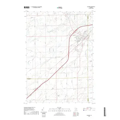
2018 Map of Columbus
USGS Topo · Published 2018About this map
The Crawfish River and its N Br Crawfish River define the agricultural landscape of this region, meeting near the community of Columbus. This 2018 survey illustrates the confluence of transportation and terrain at the borders of Columbia, Dodge, and Dane Counties. Modern road networks, including Old Hwy 73 and the Deansville Rd, intersect the rolling geography, while several established burial grounds provide important genealogical touchpoints for the area. Local researchers can identify the positions of Hillside Cem on the town's edge, along with the more isolated North York Cem, East York Cem, and Oak Lawn Cem to the south. The presence of Mathaire Field and various creeks like Robbins Cr and Nolan Cr offer a detailed perspective on the drainage and land use patterns of this Wisconsin dairy country.
Find a feature on this map
90 named features on this map. Tap any name to fly to it.
Don’t see what you’re looking for? This feature index may not catch every label — zoom into the map to look around manually.
Map Details
Editions of this 2018 Columbus Map
This is the sole edition of this map. No revisions or reprints were ever made.
Other maps of this area

1890 · Sun Prairie
USGS Topo · 1:62,500

1891 · Waterloo
USGS Topo · 1:62,500

1894 · Waterloo
USGS Topo · 1:62,500

1896 · Sun Prairie
USGS Topo · 1:62,500

1905 · Sun Prairie
USGS Topo · 1:62,500

1907 · Sun Prairie
USGS Topo · 1:62,500

1910 · Waterloo
USGS Topo · 1:62,500

1955 · Columbus
USGS Topo · 1:62,500

1955 · Beaver Dam
USGS Topo · 1:62,500

1957 · Madison
USGS Topo · 1:250,000