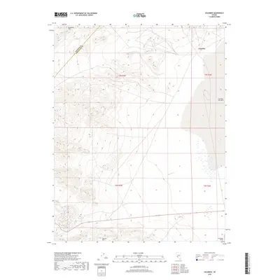
2018 Map of Columbus
USGS Topo · Published 2018About this map
Columbus stands as a focal point in this high-desert basin, situated along the western edge of the expansive Columbus Salt Marsh. This arid landscape is defined by its dramatic elevation shifts, where the Candelaria Hills dominate the northern terrain and the Volcanic Hills rise to the south, overlooking the southern reach of the Columbia Valley. The drainage patterns of the region are marked by ephemeral watercourses such as Pinchot Cr, which cuts through the central sections of the survey. The mapping also captures the administrative transition between Mineral County and Esmeralda County, providing a clear view of the territorial divisions and the sparse infrastructure that supports this remote Nevada interior.
Find a feature on this map
11 named features on this map. Tap any name to fly to it.
Don’t see what you’re looking for? This feature index may not catch every label — zoom into the map to look around manually.
Map Details
Editions of this 2018 Columbus Map
This is the sole edition of this map. No revisions or reprints were ever made.
Other maps of this area

1898 · Silver Peak
USGS Topo · 1:125,000

1900 · Silver Peak
USGS Topo · 1:125,000

1907 · Tonopah
USGS Topo · 1:250,000

1908 · Lida
USGS Topo · 1:250,000

1908 · Tonopah
USGS Topo · 1:250,000

1909 · Hawthorne
USGS Topo · 1:250,000

1911 · Hawthorne
USGS Topo · 1:250,000

1913 · Lida
USGS Topo · 1:250,000

1915 · Hawthorne
USGS Topo · 1:250,000

1917 · White Mountain
USGS Topo · 1:125,000