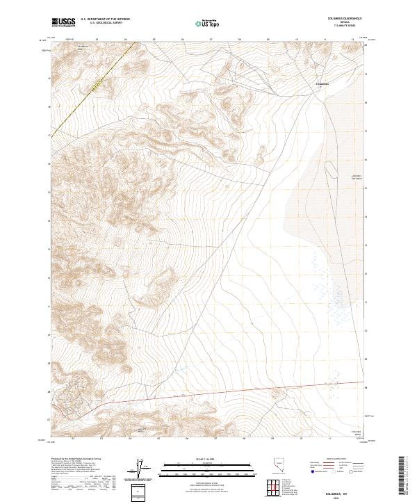
2021 Map of Columbus
USGS Topo · Published 2021About this map
Columbus stands as a focal point of settlement in this high-desert basin near the border of Mineral Co and Esmeralda Co. The landscape is dominated by the expansive Columbus Salt Marsh, a distinct evaporative feature typical of the Great Basin's endorheic drainage systems. To the southeast, the terrain transitions into the Columbia Valley, illustrating the subtle shifts in topography between alkali flats and broader alluvial valleys. The sparse road network and lack of dense development highlight the rural, undeveloped character of this region during the 2020s, providing a contemporary record of land use and surveying boundaries in this part of Nevada.
Find a feature on this map
4 named features on this map. Tap any name to fly to it.
Don’t see what you’re looking for? This feature index may not catch every label — zoom into the map to look around manually.
Map Details
Editions of this 2021 Columbus Map
This is the sole edition of this map. No revisions or reprints were ever made.
Other maps of this area

1898 · Silver Peak
USGS Topo · 1:125,000

1900 · Silver Peak
USGS Topo · 1:125,000

1907 · Tonopah
USGS Topo · 1:250,000

1908 · Lida
USGS Topo · 1:250,000

1908 · Tonopah
USGS Topo · 1:250,000

1909 · Hawthorne
USGS Topo · 1:250,000

1911 · Hawthorne
USGS Topo · 1:250,000

1913 · Lida
USGS Topo · 1:250,000

1915 · Hawthorne
USGS Topo · 1:250,000

1917 · White Mountain
USGS Topo · 1:125,000