
Loading...
Loading map...2023 Map of Columbus Grove
USGS Topo · Published 2023About this map
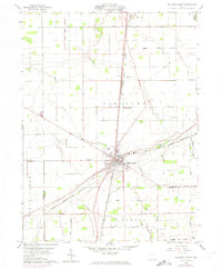
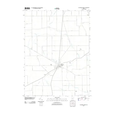
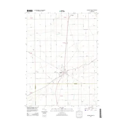
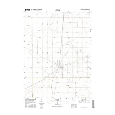
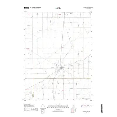
Columbus Grove serves as the central hub of this Putnam County landscape, where the street grid of the village is clearly defined by local thoroughfares like S Broadway St and W Sycamore St. The surrounding agricultural terrain is etched with the courses of Plum Creek and Cranberry Creek, reflecting the natural drainage patterns that have shaped the township's development.
Find a feature on this map
46 named features on this map. Tap any name to fly to it.
Don’t see what you’re looking for? This feature index may not catch every label — zoom into the map to look around manually.
Map Details
Date Portrayed2023
Date Published2023
PublisherU.S. Geological Survey
Map TypeTopographic
Scale1:24,000
Physical Dimensions24 x 29 inches
Editions of this 2023 Columbus Grove Map
This is the sole edition of this map. No revisions or reprints were ever made.
Historical Maps of Ottawa Through Time
8 maps found


Featured Locations
- Monroe Township, OH
- Sugar Creek Township, OH
- Union Township, OH
- Columbus Grove, Pleasant Township
- Ottawa, Glandorf Township
Source Details
SourceU.S. Geological Survey
CopyrightPublic Domain