
1951 Map of Columbus
USGS Topo · Published 1952About this map
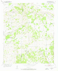
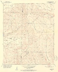
Columbus serves as a focal point in this 1950s survey of the Arkansas countryside, situated at the junction of roads leading through the Saline and Saratoga districts. The landscape is deeply defined by its educational and spiritual centers, featuring the Columbus High Sch and the County Training Sch near Corinth Ch. The map reveals a transition between the elevated terrain of Buck Range to the north and the lower Black Land to the west, where drainage is managed by the Levee near Wilson Pond. Small rural congregations are scattered throughout the quadrangle, including Temple Ch, Sardis Ch, and St Paul Ch. This era of documentation highlights the tight-knit settlement patterns of Hempstead County just before modern road expansions, preserving the locations of family landmarks like Gamble Cem and the Mounds Cem.
Find a feature on this map
30 named features on this map. Tap any name to fly to it.
Don’t see what you’re looking for? This feature index may not catch every label — zoom into the map to look around manually.
Map Details
Editions of this 1951 Columbus Map
3 editions found
Other maps of this area

1950 · Red Bluff
USGS Topo · 1:24,000

1951 · Red Bluff
USGS Topo · 1:24,000

1951 · Mineral Springs South
USGS Topo · 1:24,000

1951 · Sheppard
USGS Topo · 1:24,000

1951 · Mineral Springs North
USGS Topo · 1:24,000

1951 · Nashville
USGS Topo · 1:24,000

1951 · Washington
USGS Topo · 1:24,000

1951 · Mc Nab
USGS Topo · 1:24,000

1951 · McCaskill
USGS Topo · 1:24,000

1953 · El Dorado
USGS Topo · 1:250,000