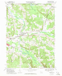
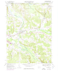
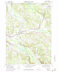
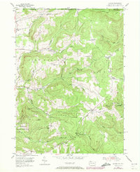
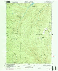
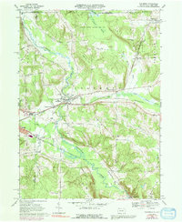
1968 Map of Columbus
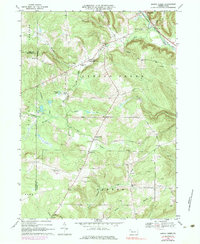
USGS Topo · Published 1971This historical map portrays the area of Columbus in 1968, primarily covering Warren County as well as portions of Warren County and New York. Featuring a scale of 1:24000, this map provides a highly detailed snapshot of the terrain, roads, buildings, counties, and historical landmarks in the Columbus region at the time. Published in 1971, it is one of 4 known editions of this map due to revisions or reprints.
Map Details
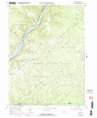
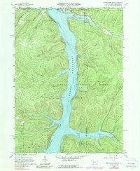
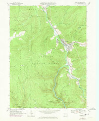
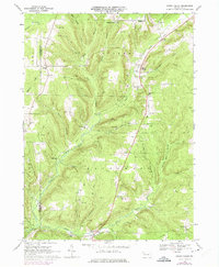
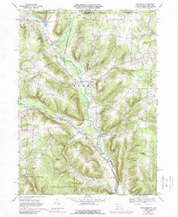
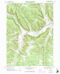
Editions of this 1968 Columbus Map
4 editions found
Historical Maps of Wayne Township Through Time
11 maps found

1947 Cherry Grove
Warren County, PA
1954 Scandia
Warren County, PA
1966 Cherry Grove
Warren County, PA
1966 Cobham
Warren County, PA
1966 Cornplanter Run
Warren County, PA
1966 Sheffield
Warren County, PA
1968 Columbus
Warren County, PA
1968 Grand Valley
Warren County, PA
1968 Lottsville
Warren County, PA
1968 Pittsfield
Warren County, PA
1968 Spring Creek
Warren County, PA